What to Bring? – I do include everything for fishing and a cooler with ice and bottled water but always recommend a hat, sunglasses, sunblock and any drinks, snacks or food that you want for the day.
When to Arrive? – If you head down to the boat 5-10 min before our departure time that is plenty of time to get loaded up and head out.
Bathroom? There is a porta-potti out in the parking area of the CC Haigh Landing but there are no facilities at the Trask Landing. If you are concerned about the bathroom please let me know so that I can make arrangements.
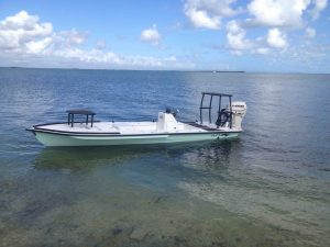
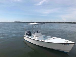
Boat Location? The docks are small so come down and you will see my boat (pictures of the boats are shown at the bottom of this page).
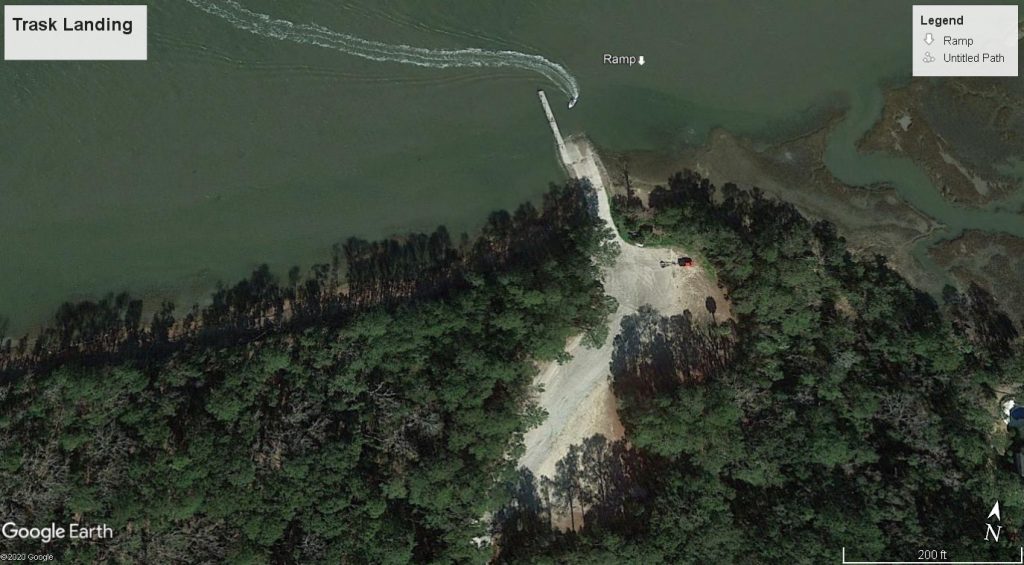
Driving Directions to the H.E. Trask, Sr. Boat Landing:
This is a backwater landing located about 10 minutes off Island. As you are going off island on Hwy 278 you will pass over two tall bridges over the intercoastal waterway into Bluffton. Once you pass over both bridges travel west just under 2 miles to Sawmill Creek Rd. (directly across from the entrance to the Tanger 2 outlets) and turn right onto Sawmill Creek Rd. Head down Sawmill Creek Rd. for 3.5 miles and it will dead end into a large parking area near the water with the boat dock. Please note that this is a paved country road but it is not uncommon for deer to be in the area so please drive with caution. You can park anywhere and I will meet you down on the dock.
GPS Address – 325 Sawmill Creek Rd. Bluffton, SC 29910 (Please note that you don’t want to turn into the Wadelle Mariculture Center off of Sawmill Creek road as some GPS’s will direct you – just stay straight on Sawmill Creek road until it dead ends at the water / boat dock)
Use the interactive Map below for directions – The RED PIN 325 Sawmill Creek Road is my location
Driving Directions to C.C. Haigh Boat Landing:
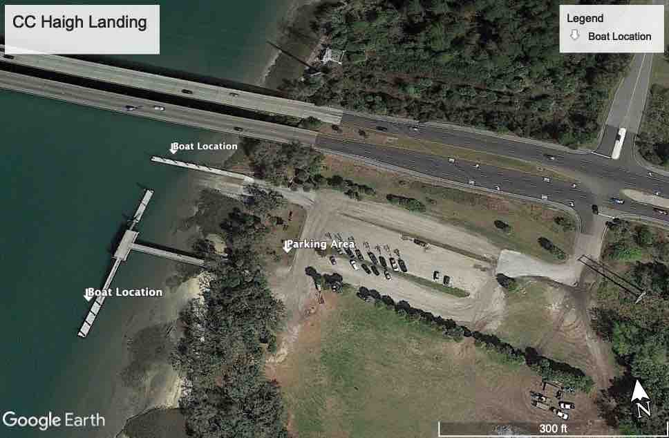
Coming off of Hilton Head Island on Hwy 278 pass Squire Pope Rd. and travel 2.1 miles. Once you cross the first bridge make an immediate left (directly across from the entrance to the Pinkney Island Wildlife Refuge). Follow down the hill and bare right to the boat landing (at the base of the bridge). If you go over both bridges back to the mainland you have gone too far. See map below for location – the RED PIN marks the CC Haigh Landing. For more information about this boat landing to include pictures and lat/long coordinates follow this link – C.C. Haigh Boat Landing
You can park anywhere in the parking lot and the boat docks are at the base of the bridge next to the boat launching ramps.
GPS Address – Simply use the “C.C. Haigh Jr. Boat Landing” for your GPS – please note that some GPS’s will send you over both bridges back to the mainland. In this case simply make the left hand turn in between the two bridges directly across from the entrance to the Pinkney Island National Wildlife refuge and park anywhere.
Use the interactive Map below for directions – The RED PIN labeled CC Haigh Boat Landing is my location
View Hilton Head Fishing Adventures Driving Directions in a larger map
Use the Google Earth Map below to find the boat – I generally park the boat on either end of one of the two docks depending on the boat traffic and tides.

Pictures of My Boats


